Standortbeschreibung
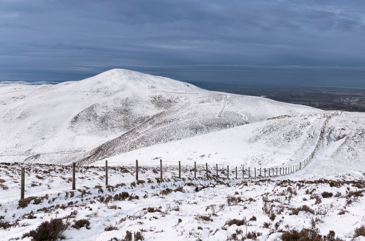
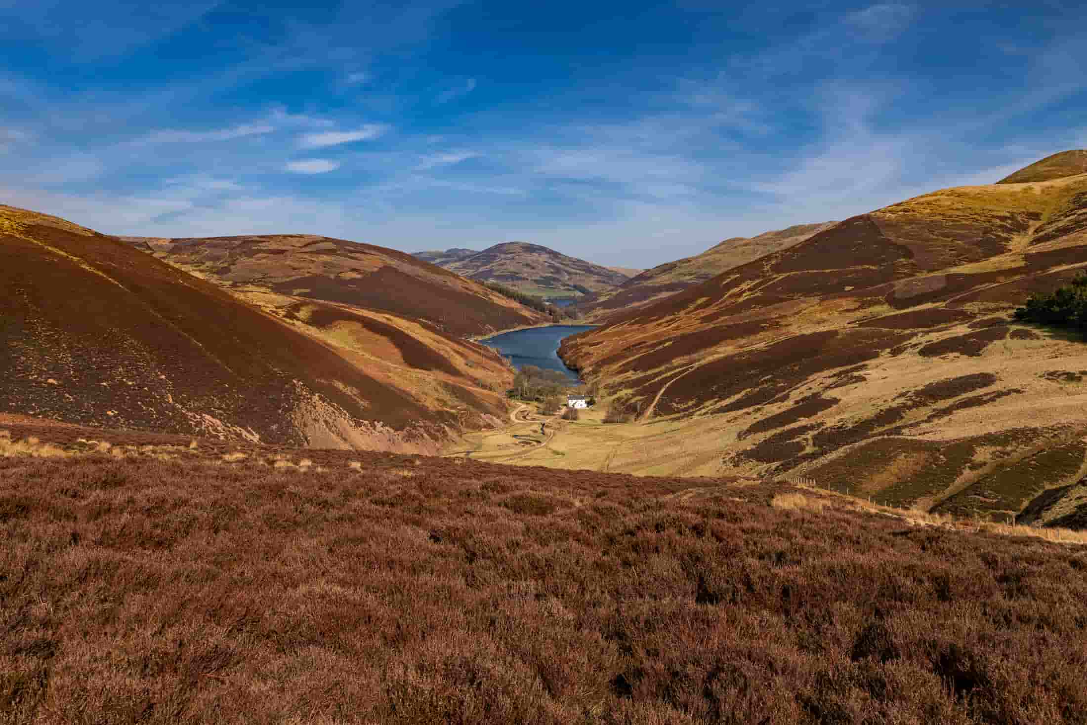
The Pentland Hills Regional Park covers around 90 square kilometres of undulating landscape on the outskirts of Edinburgh. The area is laced with great walking routes and paths which are accessed from various locations. It is large enough that attempting to capture different locations within the park on the same day would take careful planning. Only attempt multiple shoots if you really know what you are doing as a hiker, especially in colder months or inclement weather. The viewpoint for this shot is from the top of Caerketton Hill - a solid uphill hike from Swanston.
Aufnahmehinweise
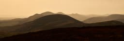
This shot is taken near the summit of Caerketton Hill with the sun low in the sky on a hazy day. Zooming in helps to compress the frame and crop some of the foreground, which would otherwise dominate the composition and reduce the impact of the layered peaks in the distance. One of the main challenges here is weather. The summits are exposed and catch a surprising amount of wind, so if you are shooting with a slower shutter speed then you may need to consider a tripod, but remember that is extra weight to carry up hill, and may be hard to steady in strong wind. Plan ahead and dress appropriately for weather and terrain.
Parkplatz
- OS Grid
- NT 23307 63090
- ///
- quibble.cabbies.oaks
Fotostandort
- OS Grid
- NT 18470 61630
- ///
- rewarding.glows.chain
Eigenschaften
- FototypDraußen
- EnergieMäßig
- SteigungMittlerer Hügel
- StraßeA702
- StadtzentrumEdinburgh
- Beste JahreszeitenAlle Jahreszeiten
- MenschenmengenNein
- Gebührenpflichtiger ParkplatzJa
Sonnenaufgang / Sonnenuntergang
Standort
Diesen Spot finden
Deine Aufnahme planen
Aufnahmebedingungen
Foto-
Ausrüstung
Ausrüstung, die für diese Aufnahme verwendet wurde, gebraucht erhältlich bei MPB und WEX.
Enthält Affiliate-Links




In der Nähe entdecken
In Reichweite
Weitere Standorte im Umkreis von 12km um Edinburgh